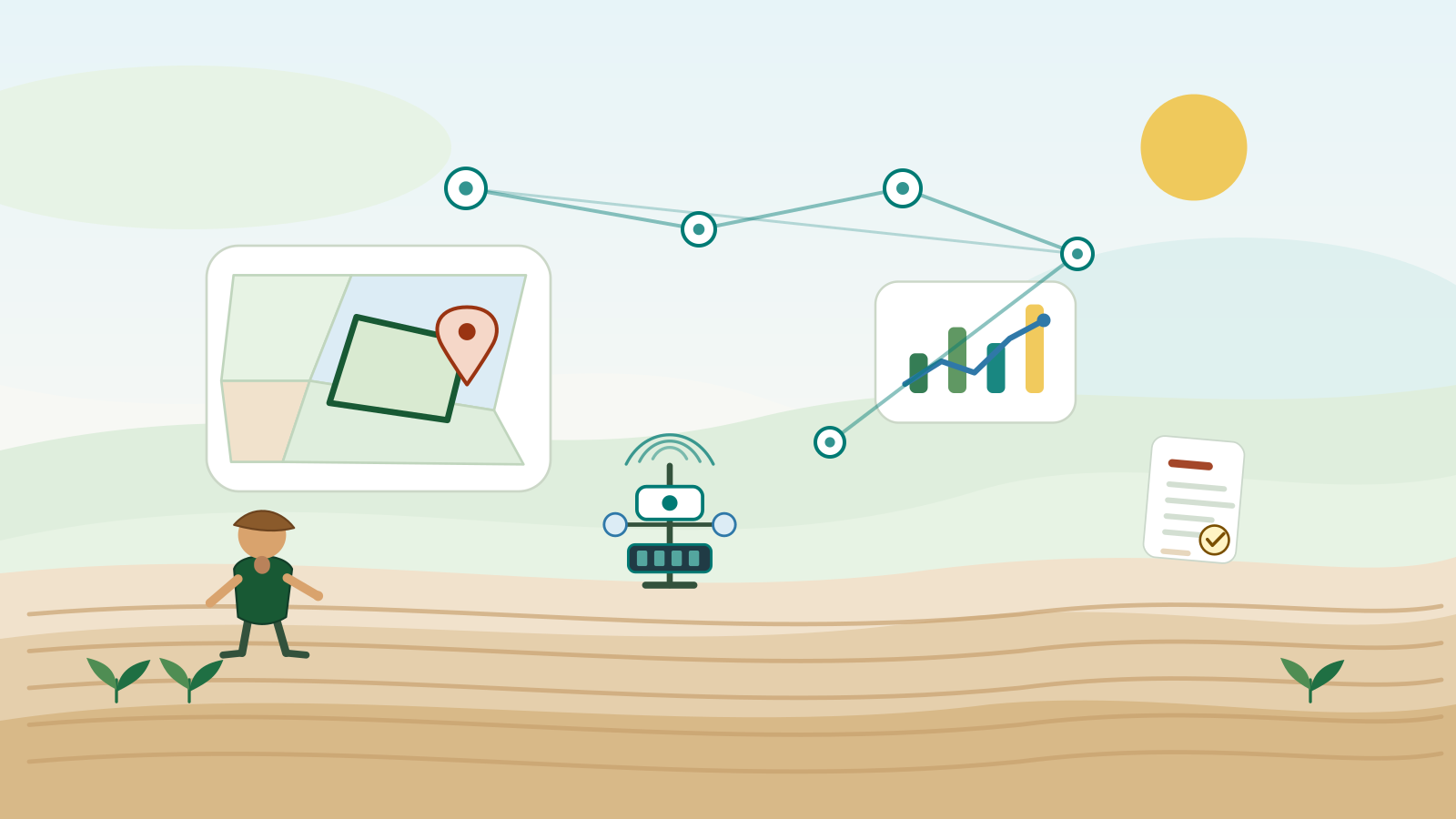
Map-first workspace
The parcel is the entry point to layers, analysis and planning.
Geometry, inspector, legend, provenance and availability states share one surface.
Terrain, soil, climate, satellite, water and planning are organised around each parcel. FIWARE preserves operational reality; uAgri adds scenarios, provenance and plan-versus-actual comparison.
The parcel is the entry point to layers, analysis and planning.
Geometry, inspector, legend, provenance and availability states share one surface.
CNIG/Copernicus, SoilGrids, ERA5/Open-Meteo and CDSE use common contracts.
Regional routing, fallback, cache, budgets and freshness stay outside the agronomic core.
Suitability, water, irrigation and economics use visible rules and parameters.
Insufficient results fail closed and are never filled with generative values.
UAgriAgronomicPlan separates planning, parcel reality and economic campaign.
Each approved version is immutable and relates to parcel, campaign, operations and evidence.
Sentinel-2 catalogue, COG/tiles and temporal indices document vigour, water and change.
NDVI, NDWI, NDMI, EVI and SAVI are shown as derivatives with date, resolution and algorithm.
The approved plan is compared with irrigation, costs, harvest, operations and observed imagery.
FIWARE provides facts; Intelligence produces traceable comparisons and reports.
Agricultural Intelligence
A modular provider and deterministic-engine layer analyses every parcel, preserves provenance and prepares decisions later checked against FIWARE.
The workspace combines geometry and external sources without confusing estimates with measurements.
Engines produce explainable ranges and never replace certified engineering or advice.
The Digital Twin provides actual observations to learn from each campaign.
Progressive architecture